
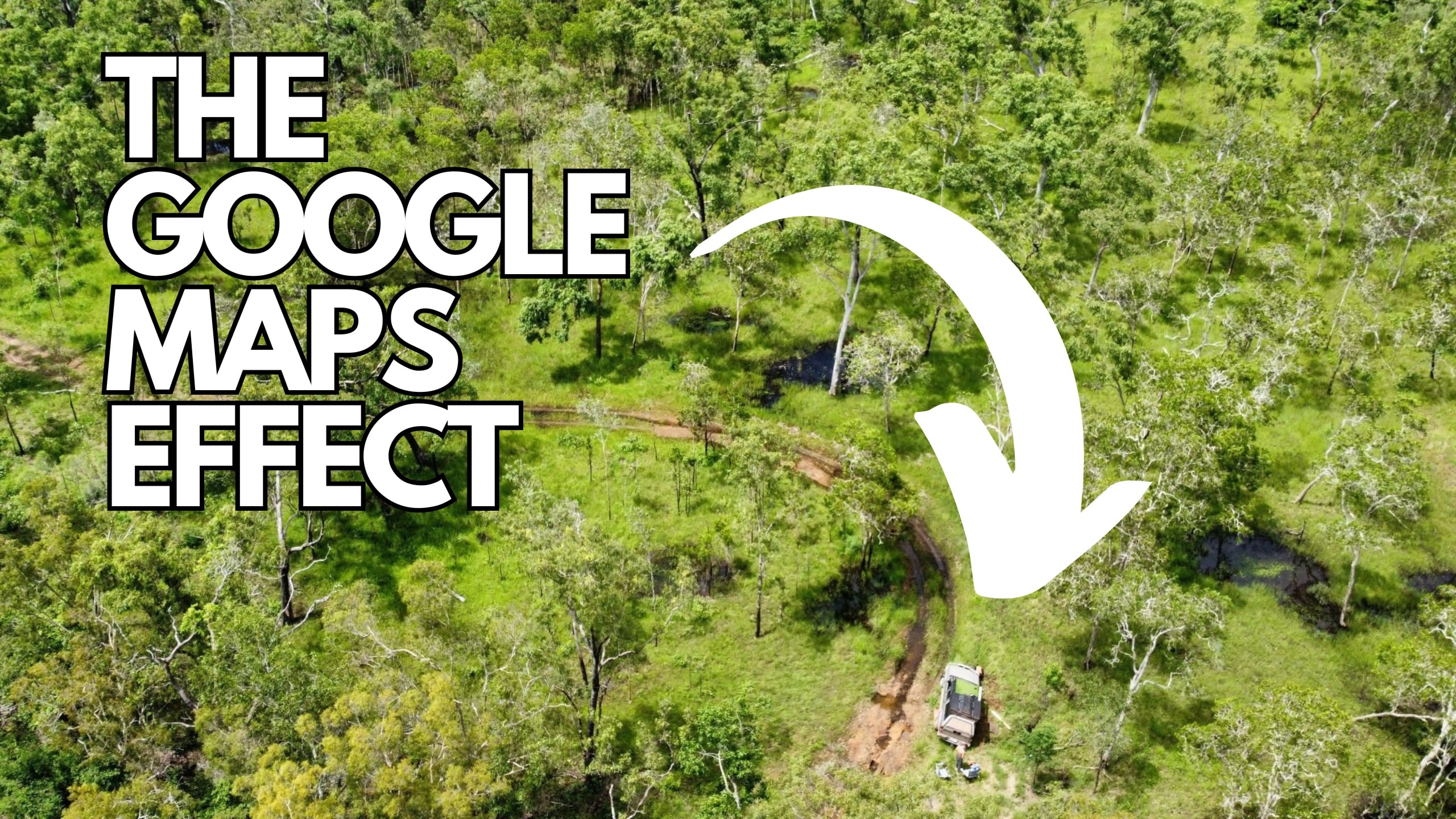
Marcel Schoene and Philipp Maier attempted to travel from Coen to Bamaga in Australia using a four-wheel-drive Nissan Navara, which was believed to be suitable for the challenging terrain on their 385-kilometer journey.
However, their journey quickly encountered a setback. It all began when the two individuals departed from Coen and encountered the first roadblock. Due to flooding, the Archer River crossing on the Peninsula Developmental Road was closed. In search of an alternative route, they turned to Google Maps on their phones.
The application suggested a road that passed through the Oyala Thumotang National Park. Unbeknownst to them, not only was the national park closed, but it was also impassable. As a result, their vehicle became stuck on the road. Despite multiple attempts to free the vehicle, they eventually realized they needed assistance.
With no cellular signal, their only option was to make their way to the nearest town to seek help. Using Google Maps to determine the distances, they embarked on a journey towards Archer River, which happened to be the closest town.
After covering a distance of 25 kilometers, they encountered rivers that obstructed their path. Forced to spend the night under the rain, they were unable to continue their journey the next morning due to rising water levels. Consequently, they retraced their steps back to the car. As days passed, they remained stranded in the car, depleting their water and food supplies. Eventually, they made the decision to walk back to their starting point in Coen.
Their journey involved numerous nights spent sleeping in the wilderness and relying on river water for sustenance. However, they finally reached an aerodrome, where they regained cellular reception and found assistance. Hours later, they were safely returned to Coen, where emergency teams aided in the recovery of their stranded vehicle.
Inspector Dave Rutherford from the Queensland Police Service Cape Patrol Group offers a straightforward piece of advice for those who solely rely on Google Maps for navigation. He recommends checking official resources, such as government websites, before embarking on a journey, as applications like Google Maps may not always provide up-to-date information about road conditions.
Fortunately, both tourists returned safely without any injuries. However, not everyone possesses the same survival skills to endure multiple days in the wilderness.
Google has not commented on the specific case, but it is expected that the suggested route through the closed national park will be removed from the map in the near future to prevent similar incidents from occurring again in the region.
According to the Source autoevolution.com


